Baptist Church Meeting House, Donemana
Introduction
The photograph on this page of Baptist Church Meeting House, Donemana by Kenneth Allen as part of the Geograph project.
The Geograph project started in 2005 with the aim of publishing, organising and preserving representative images for every square kilometre of Great Britain, Ireland and the Isle of Man.

There are currently over 7.5m images from over 14,400 individuals and you can help contribute to the project by visiting https://www.geograph.org.uk
Baptist Church Meeting House, Donemana
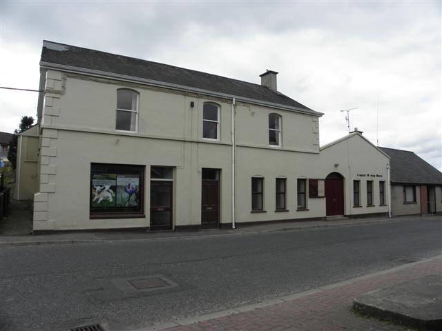
Image: © Kenneth Allen Taken: 7 May 2010
This used to be a public house
Images are licensed for reuse under creativecommons.org/licenses/by-sa/2.0
Image Location
Latitude
54.87305
Longitude
-7.313811