Sandbach Bridge and The Hill
Introduction
The photograph on this page of Sandbach Bridge and The Hill by Stephen Craven as part of the Geograph project.
The Geograph project started in 2005 with the aim of publishing, organising and preserving representative images for every square kilometre of Great Britain, Ireland and the Isle of Man.

There are currently over 7.5m images from over 14,400 individuals and you can help contribute to the project by visiting https://www.geograph.org.uk
Sandbach Bridge and The Hill
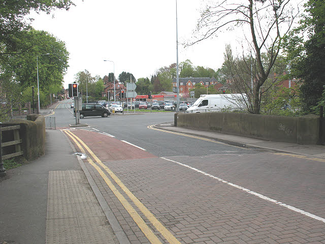
Image: © Stephen Craven Taken: 1 May 2010
For a history and side view of the bridge in the foreground, see Image This is a view looking east from the bottom of High Street, towards The Hill (the road towards Alsager rising up from the bridge - A533). In between is the traffic-light controlled junction with the A534 Sandbach Bypass, built in the 1980s. Since then the High Street has been made one-way westbound, with just a cycle contraflow lane as seen in the foreground.
Images are licensed for reuse under creativecommons.org/licenses/by-sa/2.0
Image Location
Latitude
53.142546
Longitude
-2.358902