Havards Row flats, Rhymney
Introduction
The photograph on this page of Havards Row flats, Rhymney by Jaggery as part of the Geograph project.
The Geograph project started in 2005 with the aim of publishing, organising and preserving representative images for every square kilometre of Great Britain, Ireland and the Isle of Man.

There are currently over 7.5m images from over 14,400 individuals and you can help contribute to the project by visiting https://www.geograph.org.uk
Havards Row flats, Rhymney
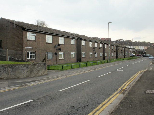
Image: © Jaggery Taken: 7 May 2010
Flats on the northeast side of Havards Row. Whereas TV aerials are at roof level, as expected, the numerous satellite dishes are clustered near the centrepoint of each building's facade.
Images are licensed for reuse under creativecommons.org/licenses/by-sa/2.0
Image Location
Latitude
51.758284
Longitude
-3.282183