Milton Keynes: West Coast Main Line
Introduction
The photograph on this page of Milton Keynes: West Coast Main Line by Nigel Cox as part of the Geograph project.
The Geograph project started in 2005 with the aim of publishing, organising and preserving representative images for every square kilometre of Great Britain, Ireland and the Isle of Man.

There are currently over 7.5m images from over 14,400 individuals and you can help contribute to the project by visiting https://www.geograph.org.uk
Milton Keynes: West Coast Main Line
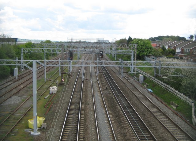
Image: © Nigel Cox Taken: 1 May 2010
Massed ranks of gantries supporting the overhead power lines dominate the scene, viewed from the Spenlows Road footbridge. The tracks on the left, beyond the weedy siding, head towards the now-disused line to Bicester and Oxford, which is only currently in use as far as the Newton Longville landfill site. This track bypasses Bletchley station. For a view in the opposite direction please see Image
Images are licensed for reuse under creativecommons.org/licenses/by-sa/2.0
Image Location
Latitude
52.006977
Longitude
-0.741369