Cattle Bridge north west of Middleton Tyas
Introduction
The photograph on this page of Cattle Bridge north west of Middleton Tyas by Peter Robinson as part of the Geograph project.
The Geograph project started in 2005 with the aim of publishing, organising and preserving representative images for every square kilometre of Great Britain, Ireland and the Isle of Man.

There are currently over 7.5m images from over 14,400 individuals and you can help contribute to the project by visiting https://www.geograph.org.uk
Cattle Bridge north west of Middleton Tyas
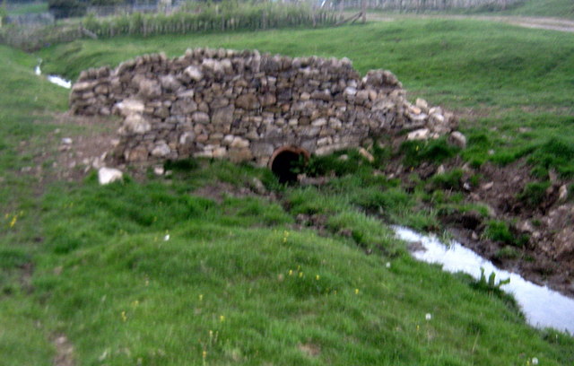
Image: © Peter Robinson Taken: 5 May 2010
Over this unnamed watercourse
Images are licensed for reuse under creativecommons.org/licenses/by-sa/2.0
Image Location
Latitude
54.449503
Longitude
-1.644031