Back of Thorn Close
Introduction
The photograph on this page of Back of Thorn Close by David Dixon as part of the Geograph project.
The Geograph project started in 2005 with the aim of publishing, organising and preserving representative images for every square kilometre of Great Britain, Ireland and the Isle of Man.

There are currently over 7.5m images from over 14,400 individuals and you can help contribute to the project by visiting https://www.geograph.org.uk
Back of Thorn Close
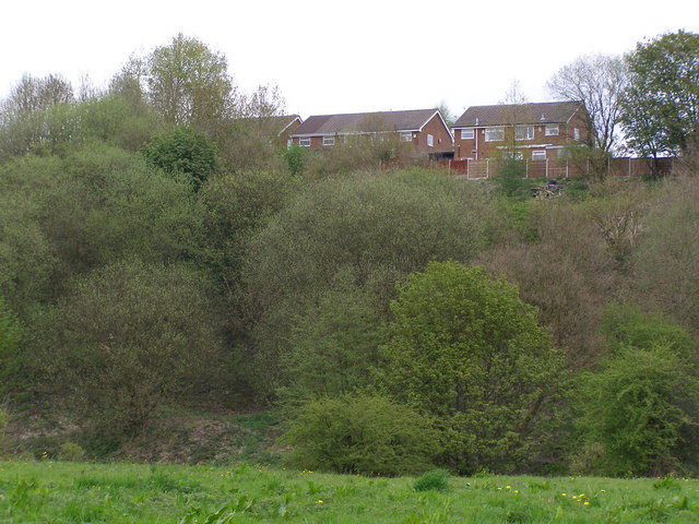
Image: © David Dixon Taken: 7 May 2010
Houses on Thorn Close, at the top of the steep side of the valley at Bottom O'Th' Brow.
Images are licensed for reuse under creativecommons.org/licenses/by-sa/2.0
Image Location
Latitude
53.598809
Longitude
-2.231633