Curlieu Lane meets the Henley Road A4189
Introduction
The photograph on this page of Curlieu Lane meets the Henley Road A4189 by Robin Stott as part of the Geograph project.
The Geograph project started in 2005 with the aim of publishing, organising and preserving representative images for every square kilometre of Great Britain, Ireland and the Isle of Man.

There are currently over 7.5m images from over 14,400 individuals and you can help contribute to the project by visiting https://www.geograph.org.uk
Curlieu Lane meets the Henley Road A4189
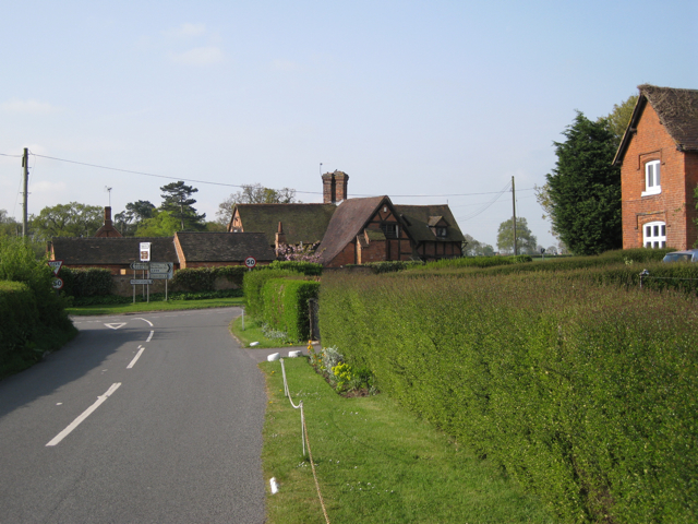
Image: © Robin Stott Taken: 5 May 2010
On the right is Middle Gannaway, one of a cluster of houses around the junction, labelled Gannaway Gate on the map. Across the Henley Road, and over a gridline, is Gannaway Farmhouse, a converted old brick and timber farm building. At the staggered junction, Curlieu Lane continues south to Norton Lindsey.
Images are licensed for reuse under creativecommons.org/licenses/by-sa/2.0
Image Location
Latitude
52.273708
Longitude
-1.676065