Flats at Links Road/Queens Drive junction
Introduction
The photograph on this page of Flats at Links Road/Queens Drive junction by David Hawgood as part of the Geograph project.
The Geograph project started in 2005 with the aim of publishing, organising and preserving representative images for every square kilometre of Great Britain, Ireland and the Isle of Man.

There are currently over 7.5m images from over 14,400 individuals and you can help contribute to the project by visiting https://www.geograph.org.uk
Flats at Links Road/Queens Drive junction
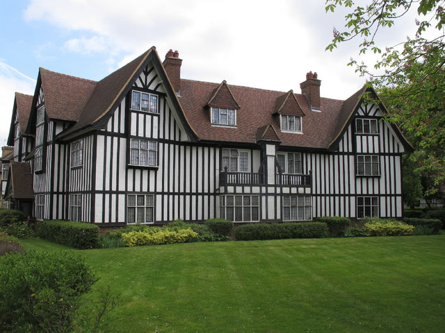
Image: © David Hawgood Taken: 30 Apr 2010
This block is different from others on the estate as it has three wings angled to fit into the road junction. The photo shows the centre section and on the left the wing facing Link Road. In the conservation area appraisal it is shown as flats type D.
Images are licensed for reuse under creativecommons.org/licenses/by-sa/2.0
Image Location
Latitude
51.517888
Longitude
-0.284458