A path onto open land
Introduction
The photograph on this page of A path onto open land by Bill Boaden as part of the Geograph project.
The Geograph project started in 2005 with the aim of publishing, organising and preserving representative images for every square kilometre of Great Britain, Ireland and the Isle of Man.

There are currently over 7.5m images from over 14,400 individuals and you can help contribute to the project by visiting https://www.geograph.org.uk
A path onto open land
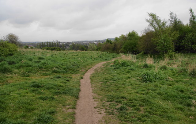
Image: © Bill Boaden Taken: 5 May 2010
This leads from the end of St Lawrence Road down into the Tame valley. It starts next to Linden Road Primary School.
Images are licensed for reuse under creativecommons.org/licenses/by-sa/2.0
Image Location
Latitude
53.452884
Longitude
-2.101907