Pulpit Rock
Introduction
The photograph on this page of Pulpit Rock by Thomas Nugent as part of the Geograph project.
The Geograph project started in 2005 with the aim of publishing, organising and preserving representative images for every square kilometre of Great Britain, Ireland and the Isle of Man.

There are currently over 7.5m images from over 14,400 individuals and you can help contribute to the project by visiting https://www.geograph.org.uk
Pulpit Rock
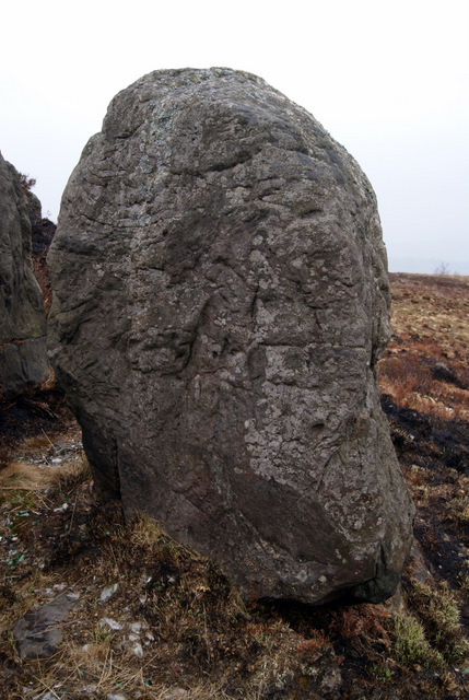
Image: © Thomas Nugent Taken: 23 Apr 2010
Used by Covenanters in the late 17th Century. Click on this http://archaeology-inverclyde.tripod.com/id14.html for more details and photographs of the inscriptions on rock before the vandals arrived in the late 1940s.
Images are licensed for reuse under creativecommons.org/licenses/by-sa/2.0
Image Location


Leaflet Map data © OpenStreetMap
Latitude
55.946175
Longitude
-4.830702