Pony paddocks on the northern edge of Reading
Introduction
The photograph on this page of Pony paddocks on the northern edge of Reading by Simon Mortimer as part of the Geograph project.
The Geograph project started in 2005 with the aim of publishing, organising and preserving representative images for every square kilometre of Great Britain, Ireland and the Isle of Man.

There are currently over 7.5m images from over 14,400 individuals and you can help contribute to the project by visiting https://www.geograph.org.uk
Pony paddocks on the northern edge of Reading
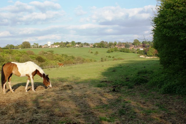
Image: © Simon Mortimer Taken: 4 May 2010
Looking south-east from the junction of Tanners Lane and Kidmore End Road. The houses are part of Emmer Green and mark the northern fringe of Reading, along the boundary between Oxfordshire and Berkshire.
Images are licensed for reuse under creativecommons.org/licenses/by-sa/2.0
Image Location
Latitude
51.490996
Longitude
-0.967077