Kingfisher Square, Saint Athan, Vale of Glamorgan
Introduction
The photograph on this page of Kingfisher Square, Saint Athan, Vale of Glamorgan by Kate Bee as part of the Geograph project.
The Geograph project started in 2005 with the aim of publishing, organising and preserving representative images for every square kilometre of Great Britain, Ireland and the Isle of Man.

There are currently over 7.5m images from over 14,400 individuals and you can help contribute to the project by visiting https://www.geograph.org.uk
Kingfisher Square, Saint Athan, Vale of Glamorgan
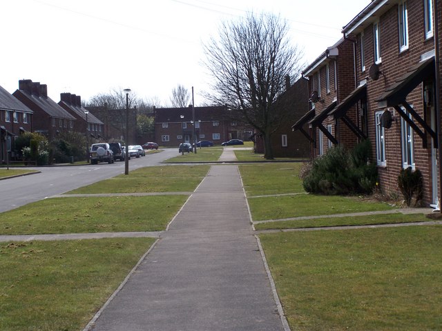
Image: © Kate Bee Taken: 17 Mar 2010
Photo was taken from outside RAF housing on Kingfisher Square at RAF Saint Athan. Looking South in this photo, Magpie Road can be seen on distant left. The houses here (left hand side only) are now privately owned. In the far distance is Blackbird Road. All the roads in this area (West Camp) are named after birds.
Images are licensed for reuse under creativecommons.org/licenses/by-sa/2.0
Image Location
Latitude
51.408014
Longitude
-3.454818