Cranbrook Union Windmill
Introduction
The photograph on this page of Cranbrook Union Windmill by Oast House Archive as part of the Geograph project.
The Geograph project started in 2005 with the aim of publishing, organising and preserving representative images for every square kilometre of Great Britain, Ireland and the Isle of Man.

There are currently over 7.5m images from over 14,400 individuals and you can help contribute to the project by visiting https://www.geograph.org.uk
Cranbrook Union Windmill
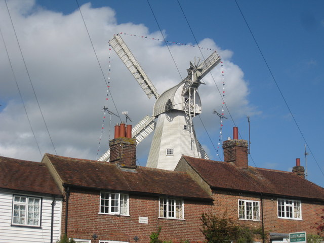
Image: © Oast House Archive Taken: 4 May 2010
Viewed across terraced cottages on The Hill.
Images are licensed for reuse under creativecommons.org/licenses/by-sa/2.0
Image Location
Latitude
51.095172
Longitude
0.53921