Former School Playing Fields
Introduction
The photograph on this page of Former School Playing Fields by John M as part of the Geograph project.
The Geograph project started in 2005 with the aim of publishing, organising and preserving representative images for every square kilometre of Great Britain, Ireland and the Isle of Man.

There are currently over 7.5m images from over 14,400 individuals and you can help contribute to the project by visiting https://www.geograph.org.uk
Former School Playing Fields
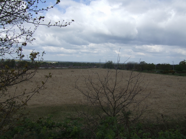
Image: © John M Taken: 3 May 2010
The school fields associated with Northycote School have not been used for many years and the grass is knee high. This would be a prime site for housing development but is probably safe as it abuts the Green Belt, Crematorium and Northicote Farm Country Park.
Images are licensed for reuse under creativecommons.org/licenses/by-sa/2.0
Image Location
Latitude
52.62633
Longitude
-2.108392