Kissing Gate near Wye
Introduction
The photograph on this page of Kissing Gate near Wye by David Anstiss as part of the Geograph project.
The Geograph project started in 2005 with the aim of publishing, organising and preserving representative images for every square kilometre of Great Britain, Ireland and the Isle of Man.

There are currently over 7.5m images from over 14,400 individuals and you can help contribute to the project by visiting https://www.geograph.org.uk
Kissing Gate near Wye
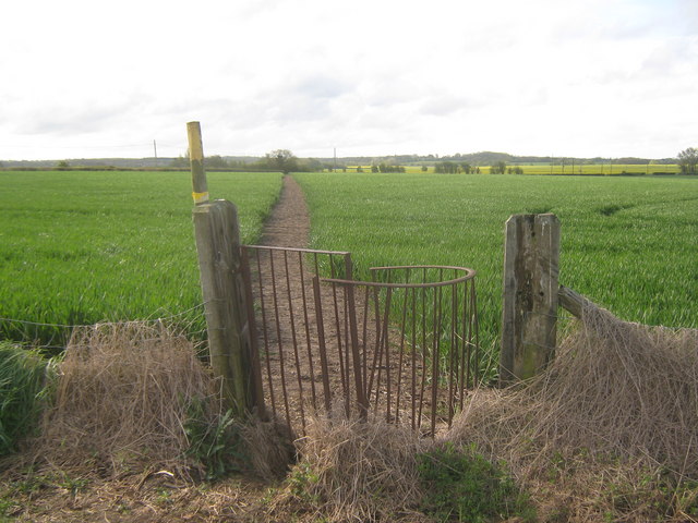
Image: © David Anstiss Taken: 3 May 2010
This gate (on a field boundary) is on a footpath from Long's Acre towards Oxenturn Road and Withersdane.
Images are licensed for reuse under creativecommons.org/licenses/by-sa/2.0
Image Location


Leaflet Map data © OpenStreetMap
Latitude
51.177632
Longitude
0.935518