Air Raid Shelter, Birkenshaw
Introduction
The photograph on this page of Air Raid Shelter, Birkenshaw by Stephen Armstrong as part of the Geograph project.
The Geograph project started in 2005 with the aim of publishing, organising and preserving representative images for every square kilometre of Great Britain, Ireland and the Isle of Man.

There are currently over 7.5m images from over 14,400 individuals and you can help contribute to the project by visiting https://www.geograph.org.uk
Air Raid Shelter, Birkenshaw
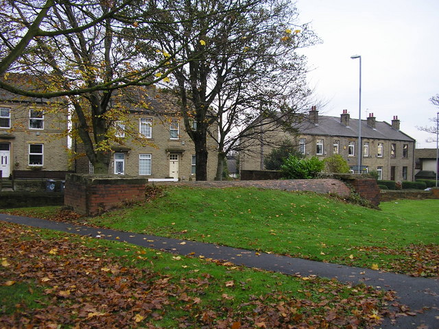
Image: © Stephen Armstrong Taken: 6 Nov 2009
This one is situated on Bradford Road immediately south of the Halfway House Roundabout. It is the same as the ones just up the road, at the park entrance, but larger. See Image
Images are licensed for reuse under creativecommons.org/licenses/by-sa/2.0
Image Location
Latitude
53.746182
Longitude
-1.693061