Cam Brook, Somerset
Introduction
The photograph on this page of Cam Brook, Somerset by Sharon Loxton as part of the Geograph project.
The Geograph project started in 2005 with the aim of publishing, organising and preserving representative images for every square kilometre of Great Britain, Ireland and the Isle of Man.

There are currently over 7.5m images from over 14,400 individuals and you can help contribute to the project by visiting https://www.geograph.org.uk
Cam Brook, Somerset
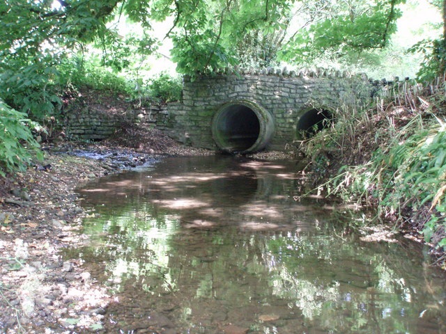
Image: © Sharon Loxton Taken: 10 Jun 2006
Cam Brook is fed by numerous springs rising on the Mendip Hills. It flows eastwards where it eventually joins the river Avon & the Avon & Kennet Canal.
Images are licensed for reuse under creativecommons.org/licenses/by-sa/2.0
Image Location


Leaflet Map data © OpenStreetMap
Latitude
51.315216
Longitude
-2.571011