2010 : Ayford Lane near the bottom
Introduction
The photograph on this page of 2010 : Ayford Lane near the bottom by Maurice Pullin as part of the Geograph project.
The Geograph project started in 2005 with the aim of publishing, organising and preserving representative images for every square kilometre of Great Britain, Ireland and the Isle of Man.

There are currently over 7.5m images from over 14,400 individuals and you can help contribute to the project by visiting https://www.geograph.org.uk
2010 : Ayford Lane near the bottom
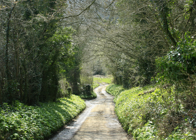
Image: © Maurice Pullin Taken: 10 Apr 2010
Almost at Ayford Farm near the bottom of St.Catherine's Valley. St.Catherine's Brook is out of sight beyond the road.
Images are licensed for reuse under creativecommons.org/licenses/by-sa/2.0
Image Location
Latitude
51.437543
Longitude
-2.325662