Mown meadow at Mains of Burnbank
Introduction
The photograph on this page of Mown meadow at Mains of Burnbank by Andrew Smith as part of the Geograph project.
The Geograph project started in 2005 with the aim of publishing, organising and preserving representative images for every square kilometre of Great Britain, Ireland and the Isle of Man.

There are currently over 7.5m images from over 14,400 individuals and you can help contribute to the project by visiting https://www.geograph.org.uk
Mown meadow at Mains of Burnbank
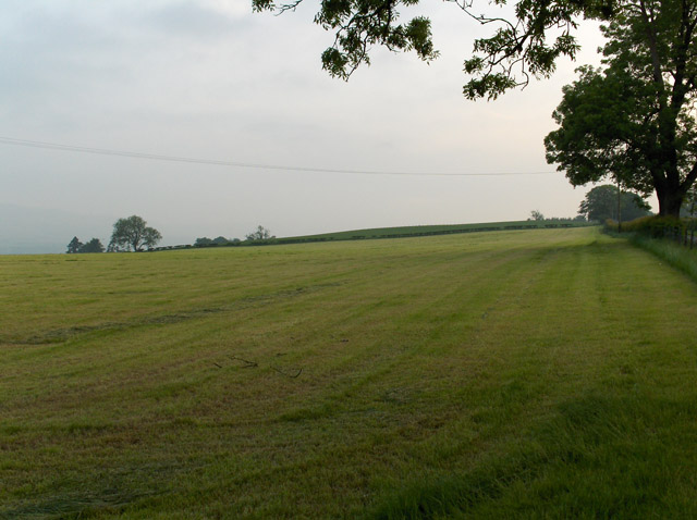
Image: © Andrew Smith Taken: 9 Jun 2006
The B8031 runs along the hedgerow in the right of the picture.
Images are licensed for reuse under creativecommons.org/licenses/by-sa/2.0
Image Location


Leaflet Map data © OpenStreetMap
Latitude
56.165168
Longitude
-4.083772