Dingle Road, North Prospect - Plymouth
Introduction
The photograph on this page of Dingle Road, North Prospect - Plymouth by Mick Lobb as part of the Geograph project.
The Geograph project started in 2005 with the aim of publishing, organising and preserving representative images for every square kilometre of Great Britain, Ireland and the Isle of Man.

There are currently over 7.5m images from over 14,400 individuals and you can help contribute to the project by visiting https://www.geograph.org.uk
Dingle Road, North Prospect - Plymouth
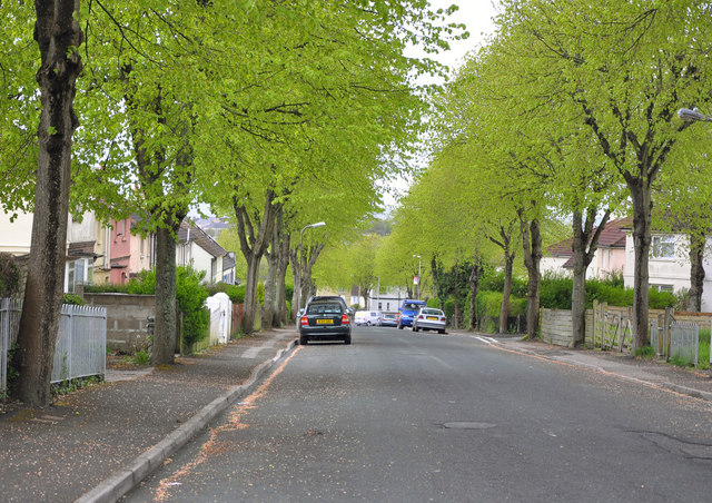
Image: © Mick Lobb Taken: 1 May 2010
Following World War I a slum clearance programme began in Plymouth with council housing being constructed in the North Prospect/Swilly area of the town. By 1928 802 council houses had been constructed here. Despite its leafy avenues the area gained a fierce reputation over the years as one of the poorest and least desirable areas of the town in which to find oneself or to live in. Plymouth City Council is currently planning to redevelop the area, demolishing the existing housing stock and replacing it with modern accommodation. It is likely that more homes will be made available because better use could be made of the land area - that is smaller gardens!
Images are licensed for reuse under creativecommons.org/licenses/by-sa/2.0
Image Location
Latitude
50.392474
Longitude
-4.163397