Footpath junction near Motts Hill Lane
Introduction
The photograph on this page of Footpath junction near Motts Hill Lane by Ian Capper as part of the Geograph project.
The Geograph project started in 2005 with the aim of publishing, organising and preserving representative images for every square kilometre of Great Britain, Ireland and the Isle of Man.

There are currently over 7.5m images from over 14,400 individuals and you can help contribute to the project by visiting https://www.geograph.org.uk
Footpath junction near Motts Hill Lane
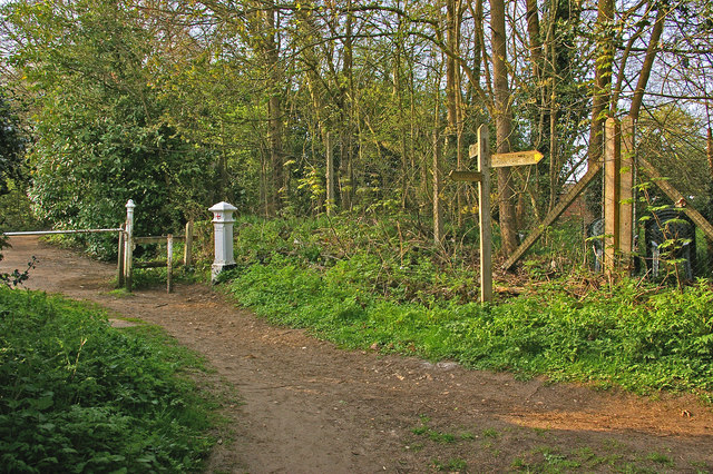
Image: © Ian Capper Taken: 24 Apr 2010
The near two paths both lead to Motts Hill Lane, with the one leading away to the left being towards Withybed Corner. Note the Coal Tax Post - for close up see Image
Images are licensed for reuse under creativecommons.org/licenses/by-sa/2.0
Image Location
Latitude
51.288111
Longitude
-0.243787