Yeovil: Pathway on Dismantled Railway Track
Introduction
The photograph on this page of Yeovil: Pathway on Dismantled Railway Track by Mr Eugene Birchall as part of the Geograph project.
The Geograph project started in 2005 with the aim of publishing, organising and preserving representative images for every square kilometre of Great Britain, Ireland and the Isle of Man.

There are currently over 7.5m images from over 14,400 individuals and you can help contribute to the project by visiting https://www.geograph.org.uk
Yeovil: Pathway on Dismantled Railway Track
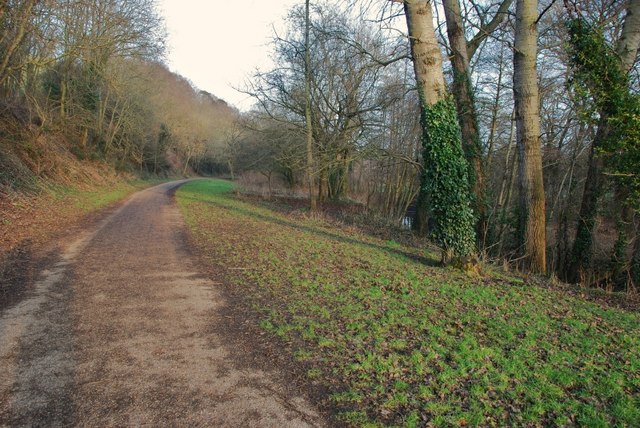
Image: © Mr Eugene Birchall Taken: 26 Jan 2010
Formerly the track between Yeovil Penn Mill and Yeovil Central stations.
Images are licensed for reuse under creativecommons.org/licenses/by-sa/2.0
Image Location
Latitude
50.942962
Longitude
-2.619955