Clayton Vale Viaduct
Introduction
The photograph on this page of Clayton Vale Viaduct by David Dixon as part of the Geograph project.
The Geograph project started in 2005 with the aim of publishing, organising and preserving representative images for every square kilometre of Great Britain, Ireland and the Isle of Man.

There are currently over 7.5m images from over 14,400 individuals and you can help contribute to the project by visiting https://www.geograph.org.uk
Clayton Vale Viaduct
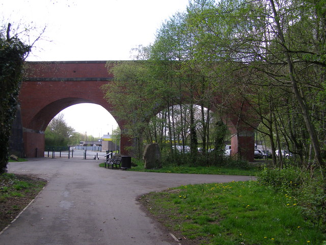
Image: © David Dixon Taken: 1 May 2010
The viaduct at the western end of the Clayton Vale Nature Reserve at the Bridge Park Road entrance. The railway which once passed over the valley at this point is disused and the viaduct now carries a footpath. (Image])
Images are licensed for reuse under creativecommons.org/licenses/by-sa/2.0
Image Location
Latitude
53.491632
Longitude
-2.18559