Field near Willstock Farm
Introduction
The photograph on this page of Field near Willstock Farm by Derek Harper as part of the Geograph project.
The Geograph project started in 2005 with the aim of publishing, organising and preserving representative images for every square kilometre of Great Britain, Ireland and the Isle of Man.

There are currently over 7.5m images from over 14,400 individuals and you can help contribute to the project by visiting https://www.geograph.org.uk
Field near Willstock Farm
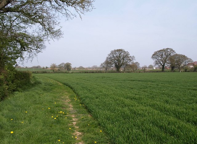
Image: © Derek Harper Taken: 24 Apr 2010
Footpath BW 23/71 skirts the edge of a field of young corn, with oaks scattered along the field boundaries. On the extreme right is the edge of Willstock Farm.
Images are licensed for reuse under creativecommons.org/licenses/by-sa/2.0
Image Location
Latitude
51.108681
Longitude
-3.01885