Rooks Castle Farm
Introduction
The photograph on this page of Rooks Castle Farm by Derek Harper as part of the Geograph project.
The Geograph project started in 2005 with the aim of publishing, organising and preserving representative images for every square kilometre of Great Britain, Ireland and the Isle of Man.

There are currently over 7.5m images from over 14,400 individuals and you can help contribute to the project by visiting https://www.geograph.org.uk
Rooks Castle Farm
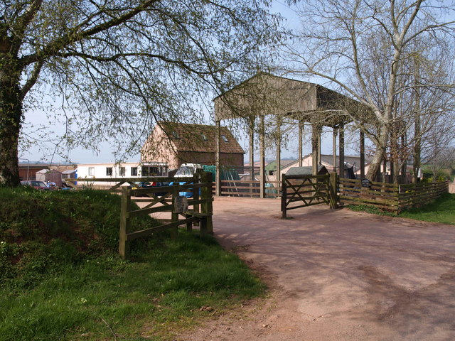
Image: © Derek Harper Taken: 24 Apr 2010
This is where footpath BW 4/17 leaves the ridge road between Merridge and North Petherton to descend into the King's Cliff Stream valley. Beware the objectionable loose dog which threatens to savage you as you pass through the farmyard.
Images are licensed for reuse under creativecommons.org/licenses/by-sa/2.0
Image Location
Latitude
51.087558
Longitude
-3.068217