Dovendale near Louth, Lincolnshire
Introduction
The photograph on this page of Dovendale near Louth, Lincolnshire by Kate Jewell as part of the Geograph project.
The Geograph project started in 2005 with the aim of publishing, organising and preserving representative images for every square kilometre of Great Britain, Ireland and the Isle of Man.

There are currently over 7.5m images from over 14,400 individuals and you can help contribute to the project by visiting https://www.geograph.org.uk
Dovendale near Louth, Lincolnshire
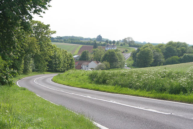
Image: © Kate Jewell Taken: 6 Jun 2006
Horncastle Road (A153) dips down into Dovendale before rising towards Cadwell Park Image
Images are licensed for reuse under creativecommons.org/licenses/by-sa/2.0
Image Location


Leaflet Map data © OpenStreetMap
Latitude
53.325238
Longitude
-0.048104