Right of way to Fankerton and Stoneywood
Introduction
The photograph on this page of Right of way to Fankerton and Stoneywood by Lairich Rig as part of the Geograph project.
The Geograph project started in 2005 with the aim of publishing, organising and preserving representative images for every square kilometre of Great Britain, Ireland and the Isle of Man.

There are currently over 7.5m images from over 14,400 individuals and you can help contribute to the project by visiting https://www.geograph.org.uk
Right of way to Fankerton and Stoneywood
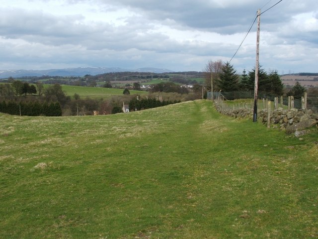
Image: © Lairich Rig Taken: 19 Apr 2010
See http://www.geograph.org.uk/photo/1831316 for the end of this route. In the opposite direction, the right of way leads to Myot Hill Road and Garth; see http://www.geograph.org.uk/photo/1831381 for that endpoint. The route leads along the near side of the wall that is shown here, but, at around this point, it crosses over to the other side of the wall (a route marker with a yellow arrow on it can be seen near the right-hand edge of the photograph). In the middle distance, just beyond the point where the field drops out of sight, part of Image and its chimneys can be seen.
Images are licensed for reuse under creativecommons.org/licenses/by-sa/2.0
Image Location
Latitude
56.022551
Longitude
-3.934712