Water End Barns
Introduction
The photograph on this page of Water End Barns by Rob Farrow as part of the Geograph project.
The Geograph project started in 2005 with the aim of publishing, organising and preserving representative images for every square kilometre of Great Britain, Ireland and the Isle of Man.

There are currently over 7.5m images from over 14,400 individuals and you can help contribute to the project by visiting https://www.geograph.org.uk
Water End Barns
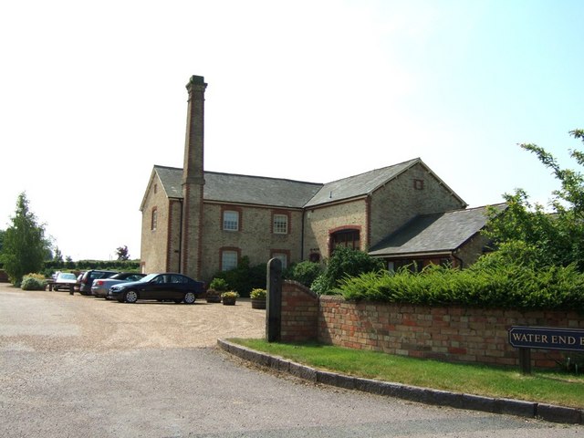
Image: © Rob Farrow Taken: 7 Jun 2006
They don't look much like barns to me - but that's what the sign says ! I presume that this was an old mill of some kind. It has now been converted into living accommodation. I wonder if the chimney still works, you could have a roaring fire with the updraft that'd produce !
Images are licensed for reuse under creativecommons.org/licenses/by-sa/2.0
Image Location


Leaflet Map data © OpenStreetMap
Latitude
51.990239
Longitude
-0.559643