The River Carron at Stoneywood
Introduction
The photograph on this page of The River Carron at Stoneywood by Lairich Rig as part of the Geograph project.
The Geograph project started in 2005 with the aim of publishing, organising and preserving representative images for every square kilometre of Great Britain, Ireland and the Isle of Man.

There are currently over 7.5m images from over 14,400 individuals and you can help contribute to the project by visiting https://www.geograph.org.uk
The River Carron at Stoneywood
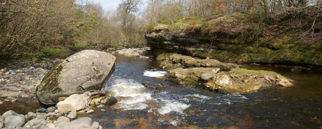
Image: © Lairich Rig Taken: 19 Apr 2010
This is a view of the part of the river that is adjacent to Image Compare Image
Images are licensed for reuse under creativecommons.org/licenses/by-sa/2.0
Image Location
Latitude
56.02434
Longitude
-3.923729