Siloa Congregational Chapel, Aberdare
Introduction
The photograph on this page of Siloa Congregational Chapel, Aberdare by Jaggery as part of the Geograph project.
The Geograph project started in 2005 with the aim of publishing, organising and preserving representative images for every square kilometre of Great Britain, Ireland and the Isle of Man.

There are currently over 7.5m images from over 14,400 individuals and you can help contribute to the project by visiting https://www.geograph.org.uk
Siloa Congregational Chapel, Aberdare
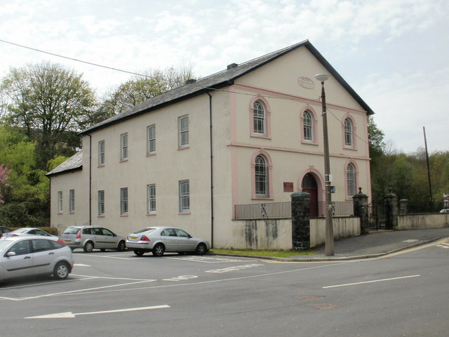
Image: © Jaggery Taken: 28 Apr 2010
Built 1844-1845 and rebuilt or modified several times since. Grade II listed status was awarded in 1998. The chapel, located on Green Street behind the library, http://www.geograph.org.uk/photo/1830650 straddles two Ordnance Survey grid myriads. The side in view here is in the SO myriad whereas the other side http://www.geograph.org.uk/photo/1169867 is in the SN myriad.
Images are licensed for reuse under creativecommons.org/licenses/by-sa/2.0
Image Location
Latitude
51.712289
Longitude
-3.448785