Right of way to Stoneywood
Introduction
The photograph on this page of Right of way to Stoneywood by Lairich Rig as part of the Geograph project.
The Geograph project started in 2005 with the aim of publishing, organising and preserving representative images for every square kilometre of Great Britain, Ireland and the Isle of Man.

There are currently over 7.5m images from over 14,400 individuals and you can help contribute to the project by visiting https://www.geograph.org.uk
Right of way to Stoneywood
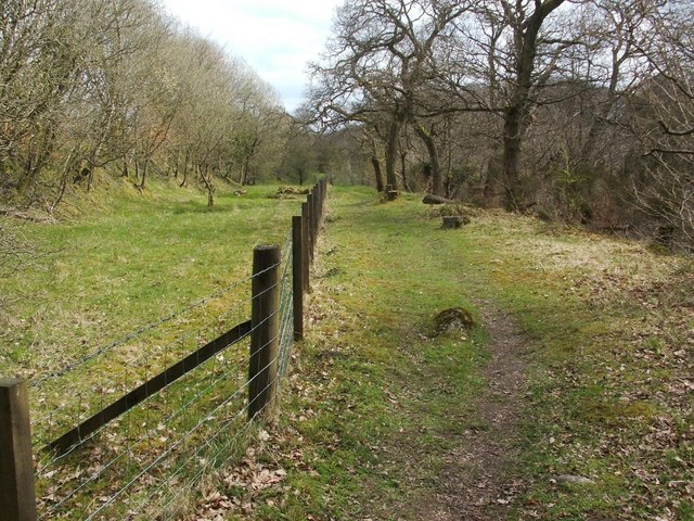
Image: © Lairich Rig Taken: 19 Apr 2010
For the previous part of the route, see Image; the long embankment that is mentioned there can be seen to the left of the fence. For the next part of the route, see Image
Images are licensed for reuse under creativecommons.org/licenses/by-sa/2.0
Image Location
Latitude
56.024455
Longitude
-3.927907