Entering Rosebank Community Woodland
Introduction
The photograph on this page of Entering Rosebank Community Woodland by Lairich Rig as part of the Geograph project.
The Geograph project started in 2005 with the aim of publishing, organising and preserving representative images for every square kilometre of Great Britain, Ireland and the Isle of Man.

There are currently over 7.5m images from over 14,400 individuals and you can help contribute to the project by visiting https://www.geograph.org.uk
Entering Rosebank Community Woodland
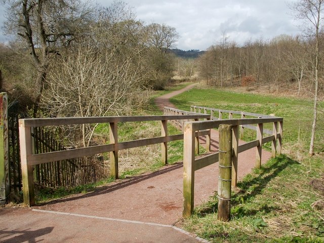
Image: © Lairich Rig Taken: 19 Apr 2010
Image leads to this roughly triangular area of community woodland, which is bounded by the Avon Burn, the motorway, and nearby housing. The entrance shown here is located beside the houses of Meadow Court.
Images are licensed for reuse under creativecommons.org/licenses/by-sa/2.0
Image Location
Latitude
56.031155
Longitude
-3.918932