Boundary Street, Brynmawr
Introduction
The photograph on this page of Boundary Street, Brynmawr by Jaggery as part of the Geograph project.
The Geograph project started in 2005 with the aim of publishing, organising and preserving representative images for every square kilometre of Great Britain, Ireland and the Isle of Man.

There are currently over 7.5m images from over 14,400 individuals and you can help contribute to the project by visiting https://www.geograph.org.uk
Boundary Street, Brynmawr
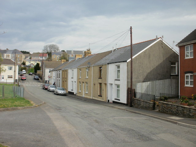
Image: © Jaggery Taken: 28 Apr 2010
Houses on the east side of the street. The view is from the Bailey Street side, looking towards the junction with Worcester Street.
Images are licensed for reuse under creativecommons.org/licenses/by-sa/2.0
Image Location
Latitude
51.798029
Longitude
-3.178898