Mini-roundabout at Mellor Brook
Introduction
The photograph on this page of Mini-roundabout at Mellor Brook by Bill Boaden as part of the Geograph project.
The Geograph project started in 2005 with the aim of publishing, organising and preserving representative images for every square kilometre of Great Britain, Ireland and the Isle of Man.

There are currently over 7.5m images from over 14,400 individuals and you can help contribute to the project by visiting https://www.geograph.org.uk
Mini-roundabout at Mellor Brook
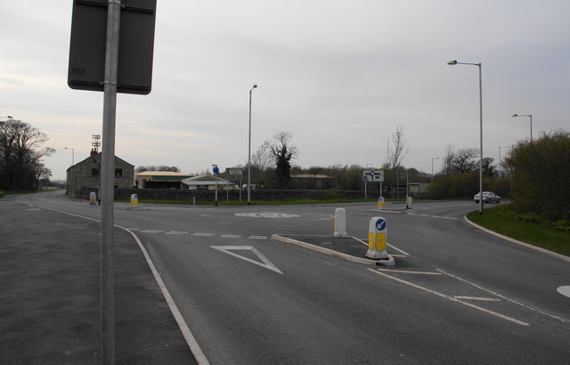
Image: © Bill Boaden Taken: 24 Apr 2010
This used to be the A59 till it was diverted over to the right, to cut off Mellor Brook. BAE Systems is further on the left.
Images are licensed for reuse under creativecommons.org/licenses/by-sa/2.0
Image Location
Latitude
53.776324
Longitude
-2.549263