Beeston Turning Circle, Town Street
Introduction
The photograph on this page of Beeston Turning Circle, Town Street by Stephen Armstrong as part of the Geograph project.
The Geograph project started in 2005 with the aim of publishing, organising and preserving representative images for every square kilometre of Great Britain, Ireland and the Isle of Man.

There are currently over 7.5m images from over 14,400 individuals and you can help contribute to the project by visiting https://www.geograph.org.uk
Beeston Turning Circle, Town Street
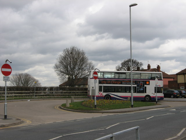
Image: © Stephen Armstrong Taken: 26 Mar 2010
The terminus of the Service 1 from Holt Park to Beeston. Until a few months ago, this service was operated by articulated single deckers, but it has now reverted back to normal rigid buses.
Images are licensed for reuse under creativecommons.org/licenses/by-sa/2.0
Image Location
Latitude
53.772056
Longitude
-1.571948