Hedgeland Farm
Introduction
The photograph on this page of Hedgeland Farm by Derek Harper as part of the Geograph project.
The Geograph project started in 2005 with the aim of publishing, organising and preserving representative images for every square kilometre of Great Britain, Ireland and the Isle of Man.

There are currently over 7.5m images from over 14,400 individuals and you can help contribute to the project by visiting https://www.geograph.org.uk
Hedgeland Farm
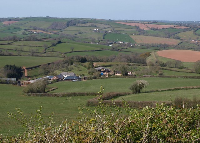
Image: © Derek Harper Taken: 22 Apr 2010
The farm is in one square; the two farm cottages on the right are in Image View from the A3072. In the distance are Chapeltown and Farleigh.
Images are licensed for reuse under creativecommons.org/licenses/by-sa/2.0
Image Location
Latitude
50.841408
Longitude
-3.550889