Footpath to Owl's Hatch Road
Introduction
The photograph on this page of Footpath to Owl's Hatch Road by David Anstiss as part of the Geograph project.
The Geograph project started in 2005 with the aim of publishing, organising and preserving representative images for every square kilometre of Great Britain, Ireland and the Isle of Man.

There are currently over 7.5m images from over 14,400 individuals and you can help contribute to the project by visiting https://www.geograph.org.uk
Footpath to Owl's Hatch Road
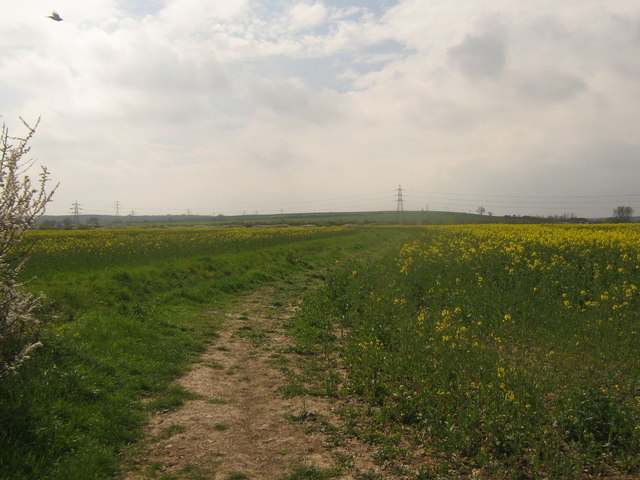
Image: © David Anstiss Taken: 25 Apr 2010
This path leads from Thornden Wood Road to a disused road. Owl's Hatch Road has been re-routed due to the construction of the A299 Dual Carriageway.
Images are licensed for reuse under creativecommons.org/licenses/by-sa/2.0
Image Location
Latitude
51.356867
Longitude
1.100393