St Catherine's Church, Pontypridd
Introduction
The photograph on this page of St Catherine's Church, Pontypridd by Jaggery as part of the Geograph project.
The Geograph project started in 2005 with the aim of publishing, organising and preserving representative images for every square kilometre of Great Britain, Ireland and the Isle of Man.

There are currently over 7.5m images from over 14,400 individuals and you can help contribute to the project by visiting https://www.geograph.org.uk
St Catherine's Church, Pontypridd
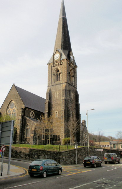
Image: © Jaggery Taken: 21 Apr 2010
Anglican church located on Gelliwastad Grove. The foundation stone was laid in 1866 and the main body of the church was completed in 1869. Various extensions and renovations have occurred since then, most recently in the early 2000s.
Images are licensed for reuse under creativecommons.org/licenses/by-sa/2.0
Image Location
Latitude
51.60205
Longitude
-3.342753