Queenzieburn to Twechar Road
Introduction
The photograph on this page of Queenzieburn to Twechar Road by Robert Murray as part of the Geograph project.
The Geograph project started in 2005 with the aim of publishing, organising and preserving representative images for every square kilometre of Great Britain, Ireland and the Isle of Man.

There are currently over 7.5m images from over 14,400 individuals and you can help contribute to the project by visiting https://www.geograph.org.uk
Queenzieburn to Twechar Road
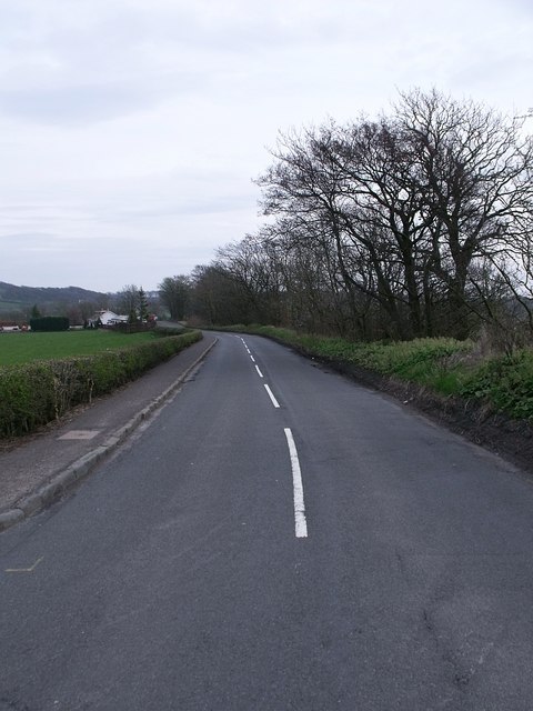
Image: © Robert Murray Taken: 24 Apr 2010
This road runs across the Kelvin flood plain. Queenzieburn is pronounced 'Queenieburn' as local patois dictates the dropping of a Z in placenames.
Images are licensed for reuse under creativecommons.org/licenses/by-sa/2.0
Image Location
Latitude
55.966777
Longitude
-4.092161