Maya Road
Introduction
The photograph on this page of Maya Road by David Howard as part of the Geograph project.
The Geograph project started in 2005 with the aim of publishing, organising and preserving representative images for every square kilometre of Great Britain, Ireland and the Isle of Man.

There are currently over 7.5m images from over 14,400 individuals and you can help contribute to the project by visiting https://www.geograph.org.uk
Maya Road
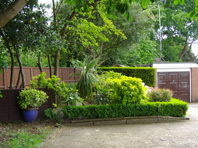
Image: © David Howard Taken: 31 May 2006
Landscaped garden in East Finchley. Area was a playing field until the 1980s when houses were built on it.
Images are licensed for reuse under creativecommons.org/licenses/by-sa/2.0
Image Location
Latitude
51.589043
Longitude
-0.178707