Downton, derelict bridge
Introduction
The photograph on this page of Downton, derelict bridge by Mike Faherty as part of the Geograph project.
The Geograph project started in 2005 with the aim of publishing, organising and preserving representative images for every square kilometre of Great Britain, Ireland and the Isle of Man.

There are currently over 7.5m images from over 14,400 individuals and you can help contribute to the project by visiting https://www.geograph.org.uk
Downton, derelict bridge
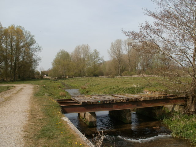
Image: © Mike Faherty Taken: 24 Apr 2010
Off Stour Valley Way; metalwork looks intact, but several planks are missing. There appears to be a footpath marker on it!
Images are licensed for reuse under creativecommons.org/licenses/by-sa/2.0
Image Location


Leaflet Map data © OpenStreetMap
Latitude
50.998208
Longitude
-1.751283