Peel Street: cave entrance
Introduction
The photograph on this page of Peel Street: cave entrance by John Sutton as part of the Geograph project.
The Geograph project started in 2005 with the aim of publishing, organising and preserving representative images for every square kilometre of Great Britain, Ireland and the Isle of Man.

There are currently over 7.5m images from over 14,400 individuals and you can help contribute to the project by visiting https://www.geograph.org.uk
Peel Street: cave entrance
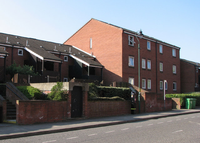
Image: © John Sutton Taken: 22 Apr 2010
The concrete-roofed doorway is the entrance to the former Rouse's Sand Mines, which flourished c. 1780-1810. Later in the 19th century, their origin having been forgotten, fanciful and unscrupulous entrepreneurs opened the caves as a tourist attraction, the credulous paying to enter "Robin Hood's Mammoth Cave", which at Goose Fair time was transformed with lights to "a scene in fairy land". During the Second World War the caves - along with 75 others in the city - became air-raid shelters. This is the northern entrance dug then. A sloping tunnel, protected by brick blast walls, leads down to the main galleries. The blockhouse entrance is relatively new, dating from road widening at the time these houses were built. The Mansfield Road area was, in the 18th and 19th centuries, the site of a number of sand mines, some remains of three of which may still be seen (a fourth has been filled with concrete). Google “Nottingham Sand Mines” to download a PDF of Tony Waltham’s “The Sand Mines of Nottingham”, which tells the full story. The sand mined here was, apparently, spread on household floors in the days before carpets (people alive in the 1940s had childhood memories of cart men touring the streets to sell “lily-white sand”), and supplied to the bottle-glass works which thrived in Nottingham in the 18th century. Mining ceased in the 19th century and the caves were later put to other uses – the most obvious being the Church (Rock) cemetery on Forest Road http://www.geograph.org.uk/photo/1196538
Images are licensed for reuse under creativecommons.org/licenses/by-sa/2.0
Image Location
Latitude
52.960552
Longitude
-1.151997