Nottingham Council House
Introduction
The photograph on this page of Nottingham Council House by John Sutton as part of the Geograph project.
The Geograph project started in 2005 with the aim of publishing, organising and preserving representative images for every square kilometre of Great Britain, Ireland and the Isle of Man.

There are currently over 7.5m images from over 14,400 individuals and you can help contribute to the project by visiting https://www.geograph.org.uk
Nottingham Council House
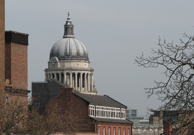
Image: © John Sutton Taken: 24 Apr 2010
The distinctive dome is seen through a zoom lens from the Castle grounds. In the foreground, on Hounds Gate, is a hosiery workshop with a clerestory.
Images are licensed for reuse under creativecommons.org/licenses/by-sa/2.0
Image Location
Latitude
52.953428
Longitude
-1.148862