Mullion: Lender Lane
Introduction
The photograph on this page of Mullion: Lender Lane by Dr Neil Clifton as part of the Geograph project.
The Geograph project started in 2005 with the aim of publishing, organising and preserving representative images for every square kilometre of Great Britain, Ireland and the Isle of Man.

There are currently over 7.5m images from over 14,400 individuals and you can help contribute to the project by visiting https://www.geograph.org.uk
Mullion: Lender Lane
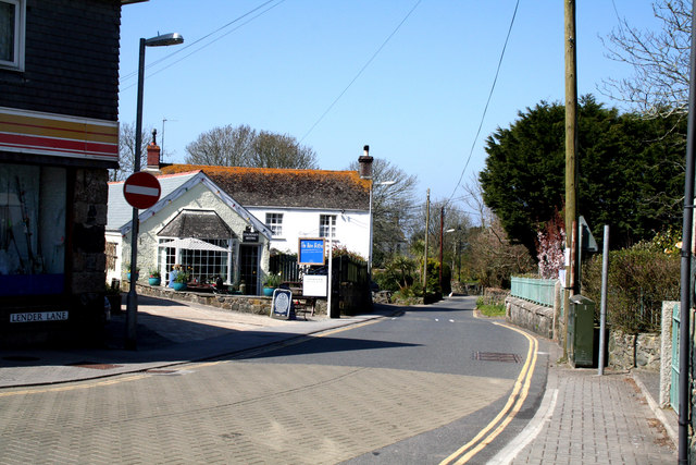
Image: © Dr Neil Clifton Taken: 18 Apr 2010
Lender Lane is the name of the northern leg of the Mullion one-way triangle. It is seen here looking west, (against the traffic flow).
Images are licensed for reuse under creativecommons.org/licenses/by-sa/2.0
Image Location
Latitude
50.027611
Longitude
-5.24199