House near St Cuthbert's, Chapelburn
Introduction
The photograph on this page of House near St Cuthbert's, Chapelburn by Les Hull as part of the Geograph project.
The Geograph project started in 2005 with the aim of publishing, organising and preserving representative images for every square kilometre of Great Britain, Ireland and the Isle of Man.

There are currently over 7.5m images from over 14,400 individuals and you can help contribute to the project by visiting https://www.geograph.org.uk
House near St Cuthbert's, Chapelburn
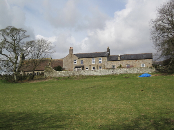
Image: © Les Hull Taken: 7 Apr 2010
Being so close to the church this may have been a rectory although the outbuildings indicate that it could have been a farm. The outbuildings have been converted into living accommodation which indicates it might be a self-catering establishemnt. In truth I have no idea and I didn't see anything to indicate the present use of the building.
Images are licensed for reuse under creativecommons.org/licenses/by-sa/2.0
Image Location
Latitude
54.974183
Longitude
-2.632985