Winterbourne Dauntsey - Winterbourne Arms
Introduction
The photograph on this page of Winterbourne Dauntsey - Winterbourne Arms by Chris Talbot as part of the Geograph project.
The Geograph project started in 2005 with the aim of publishing, organising and preserving representative images for every square kilometre of Great Britain, Ireland and the Isle of Man.

There are currently over 7.5m images from over 14,400 individuals and you can help contribute to the project by visiting https://www.geograph.org.uk
Winterbourne Dauntsey - Winterbourne Arms
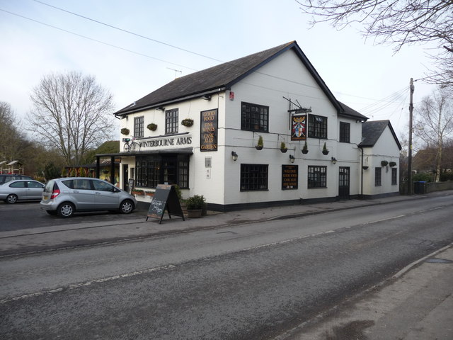
Image: © Chris Talbot Taken: 1 Feb 2010
The Winterbourne Arms was built as a farmhouse around 1640, it became The New Inn in 1884 and later changed its name to the Winterbourne Arms.
Images are licensed for reuse under creativecommons.org/licenses/by-sa/2.0
Image Location
Latitude
51.11133
Longitude
-1.751391