Boscombe - Earl Of Normanton Arms
Introduction
The photograph on this page of Boscombe - Earl Of Normanton Arms by Chris Talbot as part of the Geograph project.
The Geograph project started in 2005 with the aim of publishing, organising and preserving representative images for every square kilometre of Great Britain, Ireland and the Isle of Man.

There are currently over 7.5m images from over 14,400 individuals and you can help contribute to the project by visiting https://www.geograph.org.uk
Boscombe - Earl Of Normanton Arms
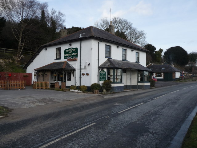
Image: © Chris Talbot Taken: 1 Feb 2010
The Earl Of Normanton public House on the A338 Wiltshire.
Images are licensed for reuse under creativecommons.org/licenses/by-sa/2.0
Image Location
Latitude
51.142734
Longitude
-1.721203