River Avon, New Brislington Bridge
Introduction
The photograph on this page of River Avon, New Brislington Bridge by Pierre Terre as part of the Geograph project.
The Geograph project started in 2005 with the aim of publishing, organising and preserving representative images for every square kilometre of Great Britain, Ireland and the Isle of Man.

There are currently over 7.5m images from over 14,400 individuals and you can help contribute to the project by visiting https://www.geograph.org.uk
River Avon, New Brislington Bridge
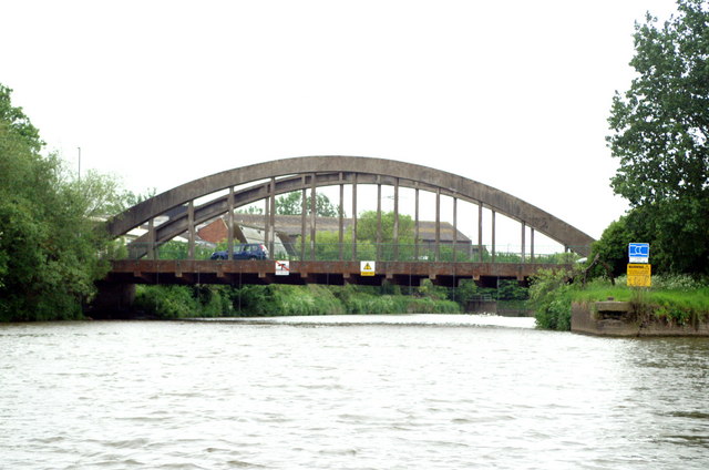
Image: © Pierre Terre Taken: 20 May 2006
The river heads under the bridge to Netham Weir. Boats head right for Netham Lock and the Feeder Canal.
Images are licensed for reuse under creativecommons.org/licenses/by-sa/2.0
Image Location


Leaflet Map data © OpenStreetMap
Latitude
51.451073
Longitude
-2.553997