The village street, Buckland Brewer
Introduction
The photograph on this page of The village street, Buckland Brewer by Humphrey Bolton as part of the Geograph project.
The Geograph project started in 2005 with the aim of publishing, organising and preserving representative images for every square kilometre of Great Britain, Ireland and the Isle of Man.

There are currently over 7.5m images from over 14,400 individuals and you can help contribute to the project by visiting https://www.geograph.org.uk
The village street, Buckland Brewer
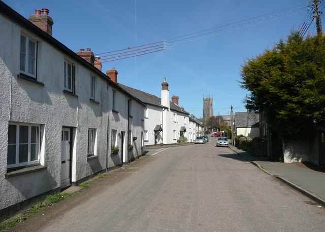
Image: © Humphrey Bolton Taken: 8 Apr 2010
The lane from Gorwood comes in on the left. The tall church tower stands proud, yet is hidden by trees when standing in front of the lychgate.
Images are licensed for reuse under creativecommons.org/licenses/by-sa/2.0
Image Location
Latitude
50.963971
Longitude
-4.252796