Waterside housing, St Anne's Park
Introduction
The photograph on this page of Waterside housing, St Anne's Park by Pierre Terre as part of the Geograph project.
The Geograph project started in 2005 with the aim of publishing, organising and preserving representative images for every square kilometre of Great Britain, Ireland and the Isle of Man.

There are currently over 7.5m images from over 14,400 individuals and you can help contribute to the project by visiting https://www.geograph.org.uk
Waterside housing, St Anne's Park
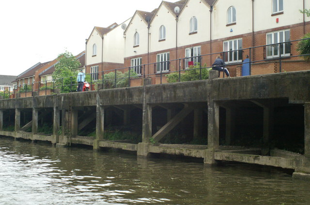
Image: © Pierre Terre Taken: 20 May 2006
Housing backing onto former industrial wharf on south bank of the Avon, probably formerly part of St Anne's Board Mills.
Images are licensed for reuse under creativecommons.org/licenses/by-sa/2.0
Image Location
Latitude
51.454723
Longitude
-2.542528